
WELCOME
||
35
SAILE (NOCKSPITZE)
2.404 m
The great vantage point in the Kalkkögel can be conquered from
various directions. The classic, though, is the simple route from
Axamer Lizum. Those who like to take it easy, save themselves quite
some meters in altitude by taking the Birgitzköpfllift. Starting out
from the lower terminus, you reach the summit after ca. 2 1/2 hours
and 890 meters altitude. The Saile, by the way, is a great choice for
a sunrise hike – an insider tip it is no longer, though.
SULZKOGEL
3.016 m
A fairly easy three-thousander – the summit can be reached in ca.
3 1/2 hours – is to be found in Kühtai. The Sulzkogel, situated in the
hiking region of the Dortmunder Hütte, rewards hikers with magnif-
icent views of the Ötztal mountain giants and of the Lechtaler, Tuxer
and Stubaier Alpen ranges. The 1,082 altitude meters overall can be
reduced by about 200 meters by way of the Drei-Seen-Lift.
WANKSPITZE
2.209 m
The hike up the Wankspitze is easy and accompanied by wonder-
ful views of the Mieminger Kette range. Starting out from Obsteig, it
takes about three hours to conquer the 1,054 meters in altitude.
LAMPSENSPITZE
2.876 m
In the wintertime, the Lampsenspitze near Praxmar is a popular
summit with ski tourers. The ascent, though, is also worth the effort
in summer. On hot days, however, it is advisable to start out early in
the morning, as the trail, covering 1,191 meters in altitude, is most-
ly exposed to the sun. A short rest, during the three-and-a-half-hour
hike, should by all means be taken beside the beautiful Bergersee.
KEMACHER
2.480 m
Starting from the Seegrube, which can be reached comfortably by
way of the Hungerburgbahn, the Kemacher is reached via the West-
grat and a simple via ferrata, ideal for beginners. Via ferrata equip-
ment is obligatory! The hike to the summit with the glorious view
takes around two hours. On the way back, you can either return to
the cableway station, or descend on foot and call in at the Höttinger
and/or the Umbrüggler Alm.
MOUNTAIN HIKING PROGRAM FOR GUESTS
Intoxicating peak experiences. Incomparable mountain pan-
oramas. Rustic alp cuisine. This is what Innsbruck‘s guests get
through the free mountain hiking program, daily from June to
September, and on Mondays and Fridays in October. Experienced
guides of the Alpinschule Innsbruck (ASI) take guests in posses-
sion of a guest card (Welcome Card) to the most impressive plac-
es and vantage points in Innsbruck and its holiday regions. In
search of alpine elation you will explore the picturesque moun-
tains around the Tyrolean capital. Checking in at your hotel, you
will receive your free guest card. It is your ticket to the free moun-
tain hiking program.
J
ust as breathtaking as the experience itself is the variety of possible
summit destinations to choose from, starting out from Innsbruck,
not to speak of the views to be expected from them. And manifold too
are the variations, for there is the right thing for every degree of proficien-
cy, the perfect summit. Really perfect, of course, they are when they come
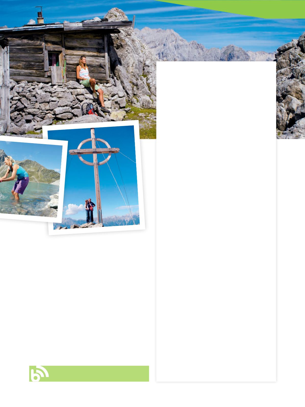
with a cross, the first of which are said to have been erected in Tyrol in the
sixteenth century. Back then, they mostly served to mark the boundaries
between alps or parishes. This changed in the nineteenth century, when
the cross became a symbol for the conquest of the mountain. Alpinism
was born. The erection of summit crosses finally boomed after World War
II, when they were a symbol of gratitude, for having survived.
Where there is a cross, there usually also is a summit book. Kept pro-
tected from the weather in a metal box, the mountaineer is invited to
leave a message in it – a saying, a greeting, a remark on the conditions
and the weather, including date and name.
It‘s a wonderful feeling, somehow, that a part of us – even if it‘s just
a written word – stays up there, while we once more descend. And wait
full of longing for the next summit. For once we have been up there, we
want to return again and again.
||
http://bit.ly/2ngfsMt


